Dinky Map: Central Lake District
Item Code: MA-22020_0426
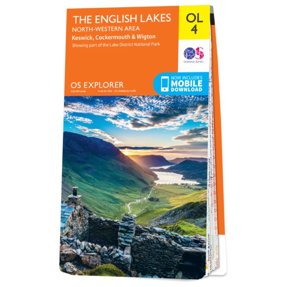
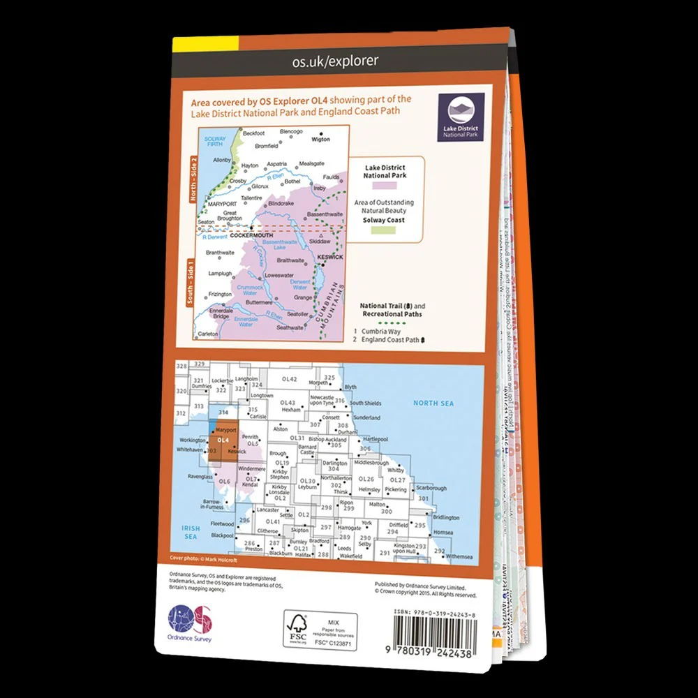
The Dinky Maps Central Lake District Map is printed on tough waterproof paper and covers all of the central Lake District including Keswick, Scafell Pike, Helvellyn, Windermere, Coniston, Ullswater, High Stretch, Derwent Water, Grizdale, Langdales and Fairfield.
Ordnance Survey Explorer mapping 1:25,000 scale. 960x694mm
Product Information
Product Information
Shipping & Returns
Shipping & Returns
Dinky Map: Central Lake District
Dinky Map: Central Lake District
Item Code: MA-22020_0426
The Dinky Maps Central Lake District Map is printed on tough waterproof paper and covers all of the central Lake District including Keswick, Scafell Pike, Helvellyn, Windermere, Coniston, Ullswater, High Stretch, Derwent Water, Grizdale, Langdales and Fairfield.
Ordnance Survey Explorer mapping 1:25,000 scale. 960x694mm
Original: $13.60
-65%$13.60
$4.76Product Information
Product Information
Shipping & Returns
Shipping & Returns
Description
Item Code: MA-22020_0426
The Dinky Maps Central Lake District Map is printed on tough waterproof paper and covers all of the central Lake District including Keswick, Scafell Pike, Helvellyn, Windermere, Coniston, Ullswater, High Stretch, Derwent Water, Grizdale, Langdales and Fairfield.
Ordnance Survey Explorer mapping 1:25,000 scale. 960x694mm